陵洞
陵洞(:/ Neung dong */?)是首爾廣津區的行政區域,面積約1.10平方公里,為其中一個法定洞。
| 陵洞 | |
|---|---|
| 韓語名稱轉寫 | |
| • 韓字 | |
| • 漢字 | |
| • 文化观光部2000年式 | |
| • 馬科恩-賴肖爾表記法 | |
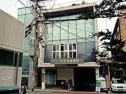 陵洞住民中心 | |
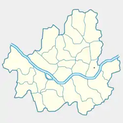 | |
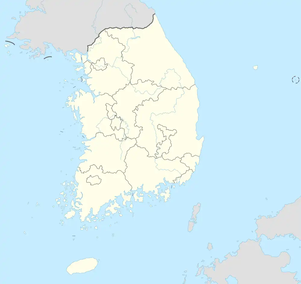 陵洞 | |
| 坐标:37°32′52″N 127°04′52″E | |
| 國家 | |
概述
根據大教堂的方向而有不同名稱:位於教堂北、南和西的村莊分別稱為北村、南村和西村[1]。
參考文獻
- 능동의 유래, 2020년 3월 8일 확인
This article is issued from Wikipedia. The text is licensed under Creative Commons - Attribution - Sharealike. Additional terms may apply for the media files.