底富山口
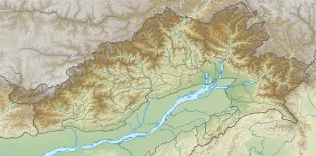
底富山口是位于印度、中国和缅甸有争议的三国国界交点边界地区的山口。底富山口也是缅甸通往印度阿鲁纳恰尔邦东部(中国藏南地區东部)的战略通道。[1]它位于麦克马洪线上。[2]它位于阿鲁纳恰尔邦的安娇县,在安娇县 的首府哈威东北120公里处,途经哈威- 瓦弄镇-Dong-基比图-Kaho-底富山口。中印边境实际控制线上的 Kaho 位于底富山口以西 40 公里处。距离底富山口60 公里的瓦弄简易机场拥有最近的航空连接。
| 底富山口 | |
|---|---|
 底富山口 | |
| 海拔 | 4,587(15,049英尺) |
| 位置 | |
| 山脉 | 伯舒拉岭(横断山脉) |
| 坐标 | 28°9′0″N 97°20′0″E |
| 底富山口 | |||||||
| 简化字 | |||||||
|---|---|---|---|---|---|---|---|
| |||||||
1960年10月,中国和缅甸划定中緬边界到底富山口,在山脉分水岭以南5英里。然而,这引起了与印度的外交争端,印度認為三国国界交点應位于山脉分水岭。[3][4]该争端已成为正在進行的中印边界问题关于阿鲁纳恰尔邦的一部分。
参見
参考
- Calvin, James Barnard. . globalsecurity.org. Marine Corps Command and Staff College. 1984-04-02 [2017-02-02]. (原始内容存档于2011-11-11).
this placed Diphu Pass--a strategic approach to eastern Assam--in Chinese territory.
- Tzou, Byron N. . Greenwood Publishing Group. 1990: 128 [2022-03-21]. ISBN 9780275934620. (原始内容存档于2022-03-21).
the so-called McMahon Line (that is, from Diphu Pass to Izrazi Pass)
- Eekelen, Willem van. . BRILL. 2015-11-06: 121 [2022-03-21]. ISBN 9789004304314. (原始内容存档于2022-03-21).
- The Geographer, Office of the Geographer. (PDF). International Boundary Study. 国务院情报研究局. November 30, 1964 [7 November 2019]. (原始内容 (PDF)存档于2019-11-07).
This article is issued from Wikipedia. The text is licensed under Creative Commons - Attribution - Sharealike. Additional terms may apply for the media files.