斯拉沃尼亚
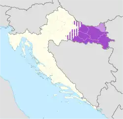
斯拉沃尼亚(克罗地亚语:),舊譯斯拉夫尼亞,是歐洲東南部巴爾幹半島的历史地区,位于克罗地亚东部,其北部是德拉瓦河,南部是萨瓦河,东部是多瑙河。
| 斯拉沃尼亚 Slavonija | |||
|---|---|---|---|
| 克羅埃西亞地理區域 | |||
| |||
| |||
| 坐标:45°27′00″N 17°55′00″E | |||
| 國家 | |||
| 最大城市 | 奧西耶克 | ||
| 面积 | |||
| • 总计 | 12,556 平方公里(4,848 平方英里) | ||
| 人口(2011) | |||
| • 總計 | 806,192人 | ||
| • 密度 | 64.2人/平方公里(166人/平方英里) | ||
| ^ Slavonia is not designated as an official subdivision of Croatia; it is a historical region.[1] The flag and arms below are also unofficial/historical; none are legally defined at present.
^ The map represents modern-day perception: historical boundaries of Slavonia varied over centuries. ^ The figures are an approximation based on statistical data for the five easternmost Croatian counties (Brod-Posavina, Osijek-Baranja, Požega-Slavonia, Virovitica-Podravina, Vukovar-Srijem). | |||


参见
- Frucht, Richard C. 1 illustrated. ABC-CLIO. 2004: 413 [15 August 2012]. ISBN 1576078000. (原始内容存档于2021-10-13).
This article is issued from Wikipedia. The text is licensed under Creative Commons - Attribution - Sharealike. Additional terms may apply for the media files.