敏達鎮
敏達鎮(緬甸語:,英語:)為緬甸欽邦敏達縣的鎮區[2]。2014年人口42,600人[1],區域面積3,259.4平方公里[1]。敏達為該鎮之首府。
| 敏達鎮 | |
|---|---|
| 敏達縣鎮區 | |
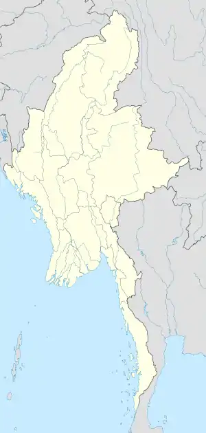 敏達鎮 敏達鎮在緬甸的位置 | |
| 坐标:21°20′N 93°15′E | |
| 國家 | |
| 省邦 | 欽邦 |
| 縣 | 敏達縣 |
| 首府 | 敏達 |
| 面积 | |
| • 总计 | 3,259.4 平方公里(1,258.5 平方英里) |
| 人口(2014)[1] | 42,600人 |
| • 密度 | 13.07人/平方公里(33.9人/平方英里) |
| 时区 | MST(UTC+6:30) |
該鎮區坐落範圍在北緯21.19度至21.47度、東經93.23度至94.29度間[3]。拿馬山(維多利亞山)海拔高度3,053公尺,為緬甸第三高峰。雖然拿馬山位在甘貝萊鎮境內,但是該山可以在敏達鎮內看見。
外部連結
- "Mindat Google Satellite Map" (页面存档备份,存于) Maplandia World Gazetteer
參見
- MYANMAR: Administrative Division (页面存档备份,存于). Citypopulation. 2015-11-23
- "Myanmar States/Divisions & Townships Overview Map" (页面存档备份,存于) Myanmar Information Management Unit (MIMU)
- . Myanmar Explore. [2010-05-12]. (原始内容存档于2011-07-14).
- "Mindat Township - Chin State" map ID:MIMU 154v01 created: 17 May 2010, Myanmar Information Management Unit (MIMU)
- "Mindat_Township_Profile" Myanmar Information Management Unit (MIMU), January 2010, population figures from State General Administration Department, October 2008
This article is issued from Wikipedia. The text is licensed under Creative Commons - Attribution - Sharealike. Additional terms may apply for the media files.