热赞拉
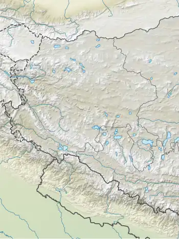
热赞拉(Rezang La)是位於中印边境实际控制线的一个山口,地處斯潘古尔山口(Spanggur Gap)以南11英里处,海拔为5,500米,它将印度控制的拉达克楚舒勒和中国控制由日土县管轄但印度主张擁有主權的曼冬错(Spanggur Tso)盆地分隔开来。[1]
| 热赞拉 Rezang La | |
|---|---|
| रेजांग ला | |
 热赞拉 Rezang La | |
| 海拔 | 5,500(18,000英尺) |
| 位置 | |
| 山脉 | 岡底斯山脈 |
| 坐标 | 33°24′50″N 78°52′29″E |
.jpg.webp)
斯潘古尔湖周围的中印冲突地点
在热赞拉西北方向约2-3公里处,有另一个边境关口热钦山口(Rechin Pass / Reqin Pass)(33.42°N 78.85°E),该山口也在中印边境实际控制线上,在中印两边都有道路通往该山口。
参考文献
- Sinha, P. B.; Athale, A. A.; Prasad, S. N., (PDF), History Division, Ministry of Defence, Government of India: 334, 1992 [2021-03-05], (原始内容存档 (PDF)于2020-02-21) (The source gives the distance incorrectly as 11 km instead of 11 miles.)
This article is issued from Wikipedia. The text is licensed under Creative Commons - Attribution - Sharealike. Additional terms may apply for the media files.