會曬機場
會曬機場 | |||||||||||
|---|---|---|---|---|---|---|---|---|---|---|---|
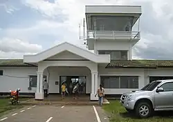 | |||||||||||
| 概览 | |||||||||||
| 机场类型 | 民用 | ||||||||||
| 營運者 | 政府 | ||||||||||
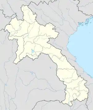
| 服務城市 | |||||||||||
| 地理位置 | |||||||||||
| 海拔高度 | 1,381英尺(421米) | ||||||||||
| 坐標 | 20°15′28″N 100°26′13″E | ||||||||||
| 地圖 | |||||||||||
 HOE | |||||||||||
| 跑道 | |||||||||||
| |||||||||||
來源: 世界航空資料[1] | |||||||||||
參考
外部連結
- 在大圆制图人(Great Circle Mapper)上的HOE机场信息
- 在大圆制图人(Great Circle Mapper)上的VLHS / OUI机场信息
This article is issued from Wikipedia. The text is licensed under Creative Commons - Attribution - Sharealike. Additional terms may apply for the media files.